

Arkansas Ride Maps


Ozark Rides offers more Arkansas ride maps than any other source on the web. If you are planning a
motorcycle trip to Arkansas, and want to explore what makes the "Natural State" a prime destination for
motorcycle riders from all over the country then you'll love checking out some of the rides that Ozark Rides
has to offer.
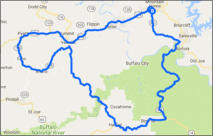
This 121 mile ride start and ends in Mountain Home and while leaning in and out of
hundreds of turns you will pass through three mountainsides. High-speed turns are
numbered in the hundreds. You cannot miss the sparks that you generate from
high-speed leans.
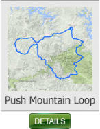
Push Mountian Loop - 112 miles (Arkansas)
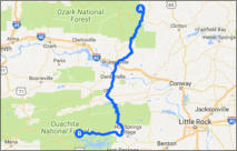
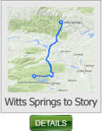
This 133 mile ride is one of Arkansas premier rides. The rugged and forested
Boston Mountains region of the Ozark Mountains provides the setting for this route,
which often runs through a tunnel of foliage during spring, summer and fall.
Witts Springs to Story - 133 miles (Arkansas)
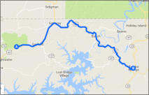
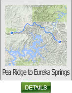
This 24 mile ride begins at the Pea Ridge National Battlefield in N.W. Arkansas and
runs along Hwy 62 to Eureka Springs.
Pea Ridge to Eureka Springs - 24 miles (Arkansas)
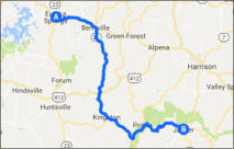
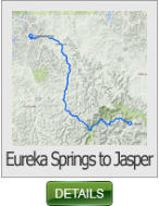
This 66 mile ride begins in Eureka Springs and take a less traveled route to the
community of Jasper. The section of AR 74 about 2 miles east of AR 43 is a real
treat with lots of switch backs and tight twisties. You need to have your head on a
swivel on this section of road.
Eureka Springs to Jasper - 66 miles (Arkansas)
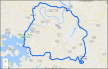
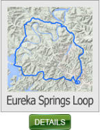
This 25 mile ride begins and ends in Eureka Springs. It runs north along AR 23 &
187, then south along Beaver Dam Site State Park.
Eureka Springs Loop - 25 miles (Arkansas)
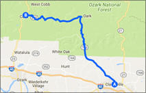
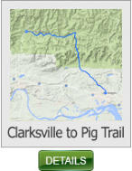
This 35 mile ride begins in Clarksville and takes you to the tail end of the Pig Trail
(AR 23). This is one of our favorite rides, and runs along the Mulberry River. It
features extreme elevation changes and plenty of switch backs.
Clarksville to Pig Trail - 35 miles (Arkansas)
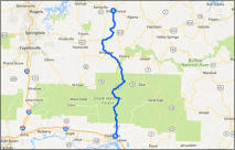
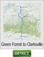
This 85 mile ride takes you along AR 21 and AR 103. One of the treats of this ride
is stopping by the Burger Barn in Ozone.
Green Forest to Clarksville - 35 miles (Arkansas)
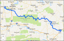
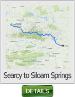
This 259 mile ride takes you across Greers Ferry Lake, past the famous
Pedestal Rock scenic area. It has various elevation changes, and lots of twisties.
Searcy to Siloam Springs - 259 miles (Arkansas)


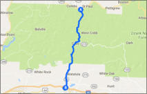
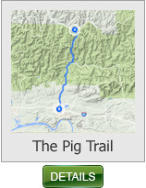
This 24 mile ride is one of Arkansas premier rides and USA Today list this ride as the # 2
best ride in America.
Pig Trail - 24 miles (Arkansas)
SHARE WITH US
Copyright © 2026 - Ozark Rides, All Rights Reserved


* Arkansas does not require riders to wear a DOT approved helmet


Copyright © 2026 - Ozark Rides, All Rights Reserved


112 Miles


24 Miles
134 Miles
24 Miles
66 Miles
25 Miles
35 Miles
35 Miles
259 Miles

Ozark Rides offers more Arkansas ride maps than any other
source on the web. If you are planning a motorcycle trip to
Arkansas, and want to explore what makes the "Natural State"
a prime destination for motorcycle riders from all over the
country then you'll love checking out some of the rides that
Ozark Rides has to offer.
Arkansas Ride Maps
* Arkansas does not require riders to wear a DOT approved helmet


MENU


