


Copyright © 2025 - Ozark Rides, All Rights Reserved


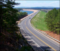
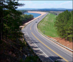
This 79 mile ride covers the extreme southern portion of the
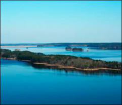
Ozarks, and circles the De Gray Lake area. It offers road
conditions that will please any rider skill level.

Step by Step Directions:
From Amity
Head east on AR-8 E/E Thompson St toward J Baggett St
Continue to follow AR-8 E 24.5 mi * Turn left to merge onto
I-30 E 4.53 mi * Take exit 78 for AR-7 N 1,115 ft * Turn left
onto AR-7 N/Valley St 2.27 mi * Turn right onto AR-283 3.13
mi * Continue onto AR-128 E 5.57 mi * Turn right onto AR-128
E/AR-84 E 0.974 mi * Take the 1st left onto AR-128 E 6.65 mi
* Turn left onto Hwy 290/Arkansas Hwy 2.27 mi * Turn right onto
Central Ave 0.931 mi * Turn left onto Amity Rd 8.32 mi * Turn
left onto AR-347 S 7.42 mi * Turn right onto AR-84 W 12.6 mi
De Gray Lake Loop - 79 miles


MENU




![Close [x]](searcy to siloam springs_htm_files/close.png)


